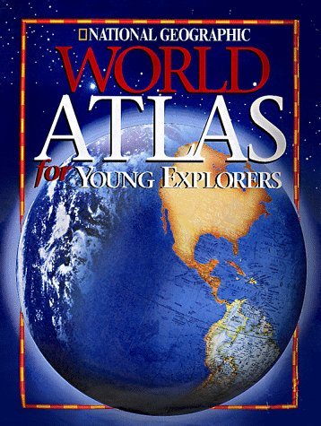
As the boundaries of our world change, so must our atlases. This generously sized 2003 edition of the award-winning National Geographic World Atlas for Young Explorers reflects the latest-possible place-name and boundary changes and features a new 16-page section on the world's oceans (including maps and illustrated essays) and an expanded U.S. section that provides an in-depth look at each region. If you are unfamiliar with the format of previous editions, expert National Geographic cartographers have designed more than 115 pages of colorful, easy-to-read, full-spread political (names and boundaries of countries), physical (land forms and water features), and thematic (displaying patterns such as climate) maps for children ages 8 to 12. All maps are shown in the context of surrounding areas. The plentiful color photographs, illustrations, and charts make this an interesting book to casually peruse, as do engaging captions about everything from golden toads to Pueblo Indian artists. The maps themselves are labeled with large, legible type. Students will also find a glossary of geographic terms, a chart of key world facts and figures, conversion tables, and a detailed index. A fine atlas for school projects or for browsing through on a rainy day. (Ages 8 to 12) --Karin Snelson
Authors
National Geographic
Additional Info
- Release Date: 1998-10-01
- Publisher: National Geographic Children's Books
- Format: Hardcover
- ISBN: 9780792273417
| SKU |
Condition |
Store |
Shelf |
Price |
|
| 6147871 |
Good
|
Fern Park |
19-15-2 |
$7.99 |
Add to Cart |
